Detailed map of Ramkeli Mela to be launched for pilgrims’ benefit

Malda: The Malda district administration is going to display a large map of the historic Ramkeli Mela to be inaugurated on June 14 for the convenience of the huge number of pilgrims visiting the fair every year. This is aimed to guide the visitors to the temples and amenities available in the fair.
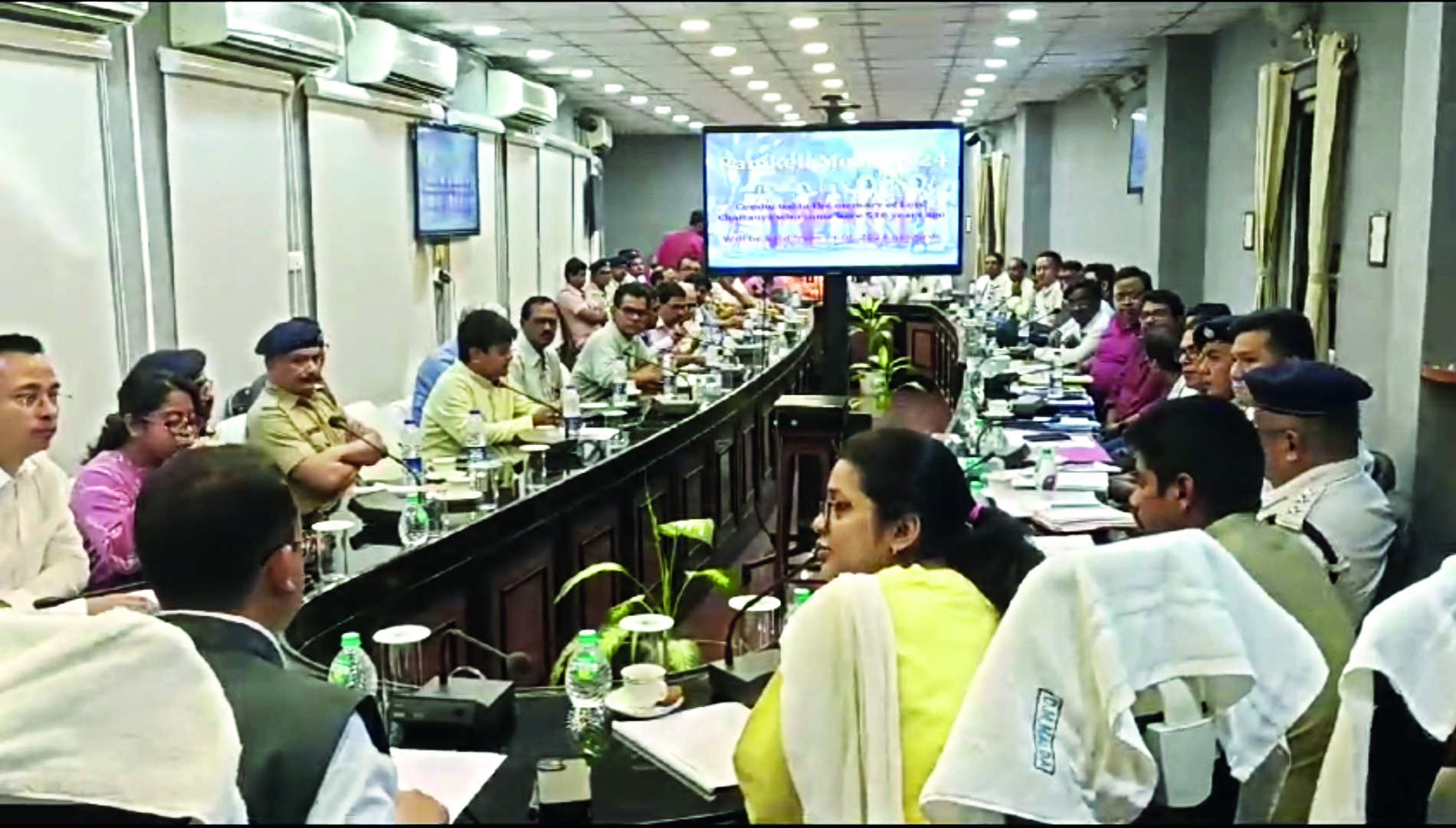
The administration anticipates around 2 lakh footfalls to this heritage fair, this year. A coordinating meeting with all the stakeholders was held at the conference hall of the Collectorate building over this. The event will conclude on June 17.
Lakhs of devotees from different parts of the state and the country participate in the Ramkeli Mela, which commemorates the arrival of Sri Chaitanya Mahaprabhu, the Vishnav saint to Gour, the ancient capital of Bengal. The pilgrims stay here from before the fair till a few days after the fair. In 1515, Sri Chaitanya Dev arrived at the Ramkeli Village of Gour on his way to Mathura and Vrindavan to preach ‘Bhakti Dharma’. He stayed in the village with his two followers, Roop and Sanatan of the village.
Since then, the traditional Ramkeli fair has been held on ‘Jaistha Sankranti’ of the Bengali calendar to commemorate his holy arrival in Ramkeli.
Jameel Fatima Zeba, Additional District Magistrate, said: “Anticipating more pilgrims than last year, that was almost 1.5 lakh, we have been planning to enhance all the facilities and amenities usually made available for the benefit of the pilgrims. CCTV cameras, drinking water facilities, toilets and other facilities will be increased this time. The detailed map of the fair will be displayed this year for the first time for the benefit of the visitors for smooth navigation.”
District Magistrate Nitin Singhania said: “Special attention will be paid to ensure that there is no lapse in the security at the fair. The problem of low voltage will be given extra attention as the WBSEDCL will look into it. Drinking water will also be given importance owing to the heatwave.”
Temples, toilets, drinking water stations, medical camps, administrative offices will be marked on the map.


